March 2 – 9
Isle of Skye, Scotland
We approached the Isle of Skye cautiously on a morning when it was shrouded in a winter’s mist, carefully crossing the Kyle of Lochalsh via the long, cantilevered bridge that linked Scotland’s largest island to a dramatic corner of the mainland. Earlier, our drive had taken us from Ben Nevis and Fort William along the Great Glen until the road turned sharply west. As we descended the highlands towards the coast, the Five Sisters of Kintail flanked the darkly beautiful Glen Shiel all the way to the sea-loch of Duich. It was here that the Bonnie Prince Charlie first raised his standard for the House of Stuart, launching the ill-fated Jacobite Rising that would end with his defeat at Culloden. And it was into those very mists that he fled for his life, “over the sea to Skye”.
Just before we reached the bridge, we paused for tea where Eilean Donan castle hunkered over its sliver of an islet. Despite it being a 19th century reproduction of a 13th century stronghold originally conceived to ward off Viking intruders, it still packed its weight in iconic Highland muscle, and more than once Oliver was certain that he spied a dragon slurking around its curtain walls. From here, Skye was just beyond the bend in the road.
Once over the bridge, we knew to keep the ‘hills to our left’ until we passed around Portree, Skye’s modest commercial hub, and continue on to Dunvegan where an unmarked, single-track road would indicate our next right turn. We would know we had found the turn-off when came across the ‘Fairy Bridge’, named for the legendary doomed union between a fairy princess and a MacLeod clan chief that was said to have ended there. From there our only landmarks would be a series of abandoned sheep fanks (folds), and an overgrown windbreak that doubled as a bus stop.
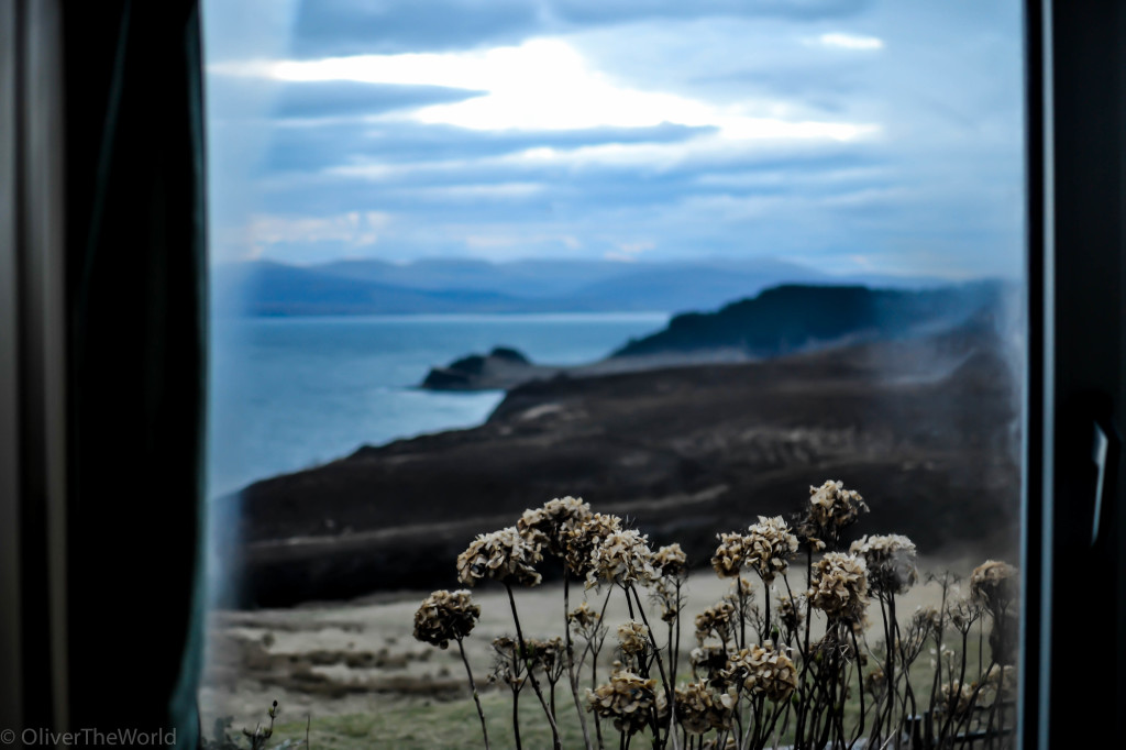
The Waternish, Skye’s most lonesome peninsula, is where we happily made our home during the week we were in residence. Our little croft was nestled into the crook of land that bent sharply into a sea-loch and looked out to the to the uninhabited Ascrib islands. Every morning, a golden eagle wheeled around the cliffs outside our window and on the distant rocks by the shoreline below, shags arched their long necks over the clear waters of the bay. Pauline, a kindly neighbor, brought us fresh eggs and homemade marmalade from a croft down the road.
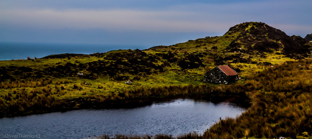
Most days, we scratched out our own self-guided tour of Skye. Mainly we walked and walked. Down sheep tracks that wound around Iron Age brochs (circular fortresses) and over rutted paths through the high moors to the Cuillan, an alpine range in miniature. Small hamlets and working crofts shared gorse-flecked hillsides with bed and breakfasts and artist studios that had been mostly shuttered for the winter. Black-faced sheep with spray-painted backsides regarded us with quizzical expressions while shreds of canvas that had once protected their hay bales from rain fluttered like banners where they had been caught against woven wire fences. The days in Skye’s northern latitudes were slowly growing longer, and here and there pockets of late afternoon light filtered through the skeins of mist to find us at the edges of a stony shorelines or silhouetted against black hills .
Skye is a large island with approximately 350 miles of convoluted coast. Its Gaelic name, An t-Eilean Sgitheanach, translates to The Winged Isle, after its two most prominent peninsulas: the Waternish and Trotternish. With only seven days to explore it thoroughly, we managed to visit many of its more famous landmarks and witness its incredibly varied topography, all of which I have endeavored to map out below. If you click on any of the icons, a short description will tell you what you’re looking at.
[mapsmarker layer=”2″]
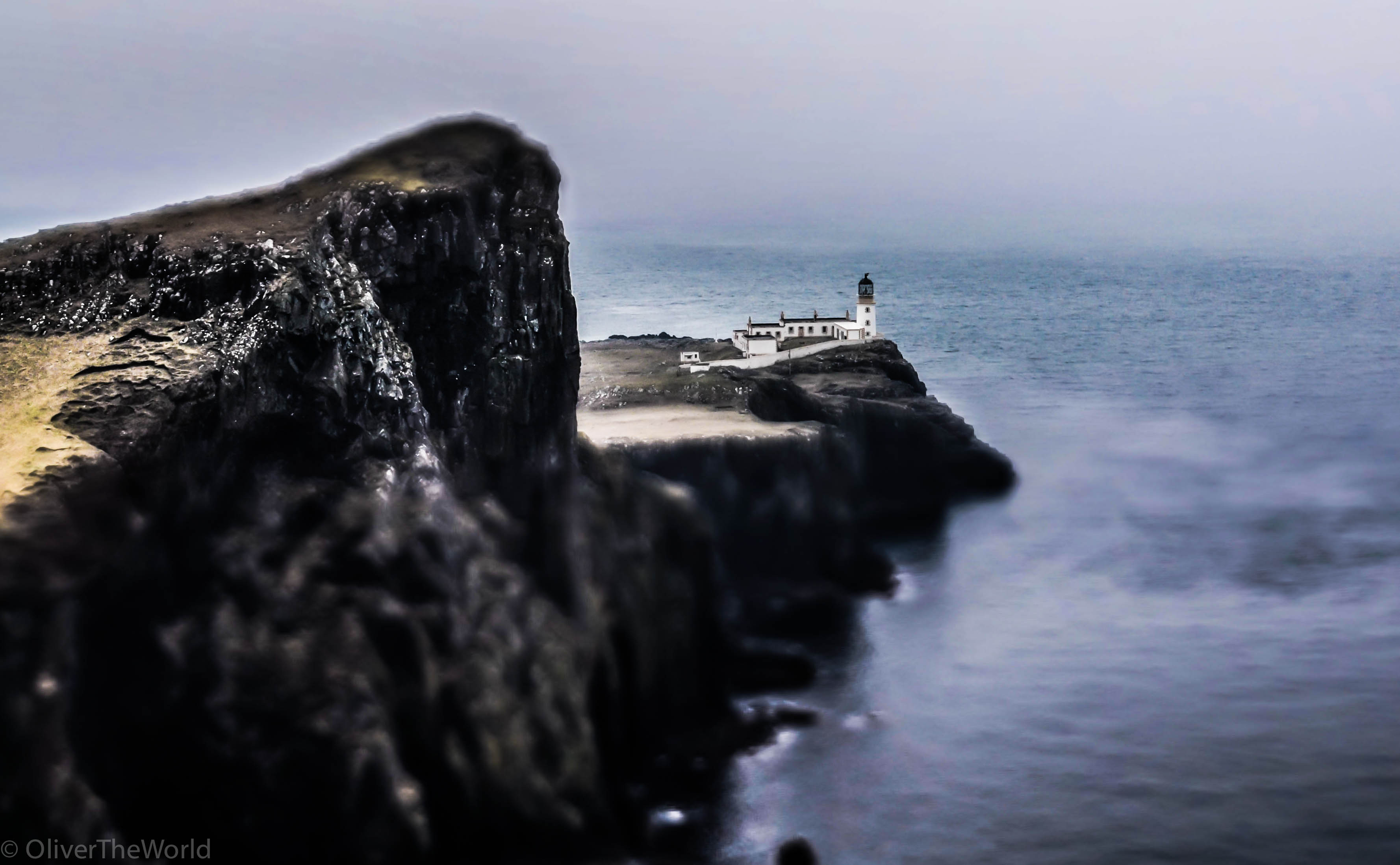
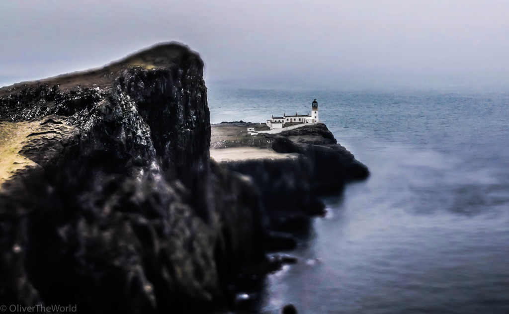
Neist Point Pronounced “Neest”, Skye’s most westerly frontier features a crumbling lighthouse (built by none other than Robert Louis Stevenson’s grandfather) teetering on the edge of a striking headland called An t-Aigeach, or “the Stallion’s Head”. Neist is reputed to be the best place on Skye to spot dolphins, whales and (to our resident shark-hunter’s delight), basking shark.
Jann’s Cakes Ever tried banoffee pie? A made-in-heaven combination of creamy pudding, shortbread, banana and toffee. We shared a slice at Jann’s, a Dunvegan institution that showcases one woman’s remarkable baking talents, and were never the same again.
The Old Man of Storr To many who travel to Skye, “The Storr” is as emblematic an image as the very mist that enshrouds the isle. The 50-meter high pinnacle of freestanding igneous rock juts out of the rocky eastern slope of the Trotternish peninsula like some poor, weather-beaten hitchhiker’s thumb.
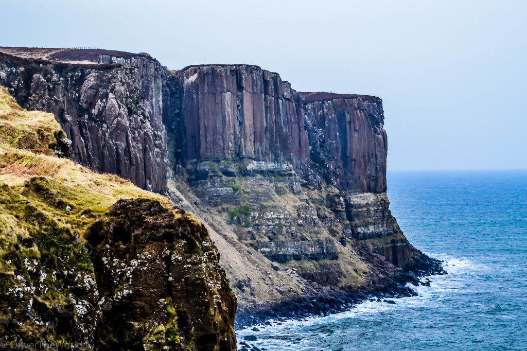
Kilt Rock & Mealt Falls Proceeding north along the Storr-Staffin road (A855), an enormous cliff comprised of columnar basalt is evidence of Skye’s more ‘recent’ geological history. 67 million years ago, super-heated magma squeezed through sedimentary layers of sandstone and slowly cooled, forming the vertical pattern of rock that resembled the pleats of a kilt. We were no strangers to this kind of formation as we witnessed it in several places throughout Iceland (along with obscure Roman ruins, seeking out columnar basalt has become one of my favorite diversions). Just before Kilt Rock, the Mealt Falls plunge 90 meters over the cliff directly into the Sound of Raasay.
Staffin Bay The gorgeous scallop of sandy shoreline near the eastern tip of the Trotternish Peninsula sports a long beach break that siphons its waves straight from the Hebridean Minch. Past the bay, some of Skye’s oldest history is recorded in a set of 165 million year old Hadrosaur footprints preserved on some flat rocks near the slipway. Although I dared Ollie to investigate, alas, the tide was up too high!
The Quiraing The backbone of the Trotternish peninsula is comprised of a volcanic escarpment that has been gutted and carved by glaciers, rivers and streams into a mysterious landscape of gullies, plateaus, and pinnacles. Standing at the pass near the top, the Quiraing is an eerie place of shadows and shapes that seems to be sliding away under the weight of the heavy mists that forever bear down upon Skye.
Waternish Peninsula Skye’s most lonesome peninsula is where we happily made our home during the week we were in residence. Our little croft was nestled into the crook of land that bent around Aros Bay.
The Cuillin Hills While the peninsulas of Skye resemble fingers that grasp at the sea, the Cuillins are the island’s ragged teeth. The Black Cuillins boast no less than twelve Munros (peaks over 3,000 feet) and are mainly composed of good, grippy gabbro (a coarse igneous rock), hence their attraction to mountaineers from all parts of the world. The Red Cuillins, so named for their granite composition that holds the light in just such a way, are slightly gentler in nature. However, given our recent wrong turn in Glen Coe and the rash of fatalities throughout the Highlands that winter, we left the snow-covered peaks to the seasoned mountaineers and instead took some nice photos of the fairy pools near Sligachan. We DO have two small kids in tow, after all.
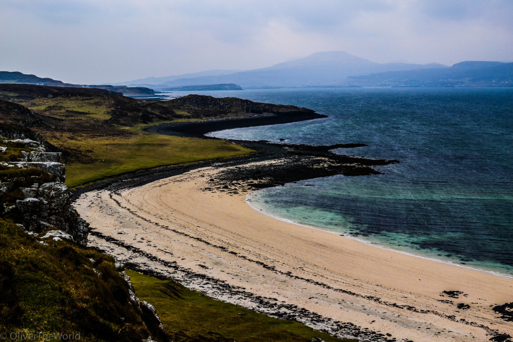
Coral Beach At the end of the road that leads through Dunvegan onward to the tiny township of Claigan, a short, but boggy footpath through fields leads one to the Coral Beach, a pristine arc of white sand and shallow azure sea. Despite its beauty, the “coral” in Coral Beach is a misnomer. Rather, the sand is actually composed of tiny, sun-bleached and calcified fragments of a kind of algae called maerl. There is a very, very nice view from atop the little hill, Cnoc Mor a’Grhobain that abuts the beach, and even little feet can manage the climb!
Talisker Distillery It is certainly some form of mystical alchemy that facilitates the transformation of malted barley and fresh water from the spring at Carbost into one of the finest single malts in the world. As is the custom of several of the distilleries on Scotland’s islands, the Talisker malt captures the essence of peat smoke early in its process, and a dram or two is certainly enough to transport one to a faraway hearth near some wind-lashed shoreline.
Seafood from Isle of Skye Oysters Those who know me well know that I will go to great lengths to procure freshly hauled oysters that have been shucked on the spot. This little croft just up the hill from the distillery is just such a place. Paul is the resident oyster farmer on Skye and he does a swift trade with the Miyagi or Pacific variety that he raises in his own beds in Loch Harport on the western side of the isle. No frills here; just a bare counter, some lemon juice and a man with a knife. And a little bit of Tabasco. Heaven.








Wow – what a stunning place! keep an eye out for those dragons Ollie!
Love Andy